
Esta semana pasada he estado colaborando puntualmente con la Plataforma “planermitadelsanto”, vecinos como yo que se han (nos hemos) organizado para echar abajo un plan de recalificación urbanística que no es ni mucho menos del interés general. He preparado para ellos algunos mapas en 3D (georeferenciando planos, extruyendo manualmente usando datos del Plan propuesto, realizandoContinue reading “NO AL PELOTAZO DE LA ERMITA DEL SANTO“
Category Archives: negocios/business
Google Earth Engine and Dynamic World

Let me please introduce you this “new” LULC source I have come across with recently. The potential of this 10m “clutter” source is being able to acquire data from a few days ago instead of using outdated “very old” 2020 vintage datasets. I know if these days something 2020 is very old then myself, born in 1972 then i’m older than the riverside, older than peeing in a wall, even older than Methuselah. Yes, that’s the way it is nowadays.
Google Earth Engine is a geospatial processing service where you can perform geospatial processing at scale, powered by Google Cloud Platform. The purpose of Earth Engine is to:
Provide an interactive platform for geospatial algorithm development at scale
Enable high-impact, data-driven science
Make substantive progress on global challenges that involve large geospatial datasets
Wildfires in the sub-Saharan region

This image, acquired by one of the Copernicus Sentinel-2 on 8 February 2022, shows ongoing wildfires in the Boma National Park in South Sudan. Fires are common at this time of year in the sub-Saharan region.
Desarrollo urbanístico en Madrid capital desde mediados del S.XIX hasta hoy
Todos los edificios actuales de Madrid presentes en la base de datos de Catastro a día de hoy tienen su año de creación. Esto es un mapa que muestra -por décadas- dónde se concentraba la mayor parte de ese desarrollo urbanístico. Por ejemplo en los años 20 fue en el Barrio de Salamanca, en losContinue reading “Desarrollo urbanístico en Madrid capital desde mediados del S.XIX hasta hoy”
¡Cartografía en estado puro! Análisis COVID19 (Tasa de Incidencia acumulada 14d) por Zonas Básicas de Salud en la Comunidad de Madrid, España

asa de Incidencia Acumulada para cada una de las 287 Zonas Básicas de Salud de Madrid, definiendo rangos y colores correctos de visualización y luego un poco de Photoshop aquí y allá y voilá!
Hipsters in USA. Sample over ALABAMA State

Isn’t it incredible? Mapping qualitative data, something as intangible as mapping a concept. For the first time, human behavior and personality in communities can be quantified using artificial intelligence.
Seminario motivacional en el Máster Tecnologías de la Información Geográfica de la UAH
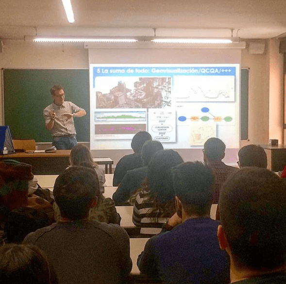
Esta vez me tocó impartir el seminario motivacional “Geógrafos en tiempos de GIS” en el entorno del Máster de Tecnologías de la Información Geográfica. Yo encantado pues este mismo máster lo cursó yo hace ya doce años (wow, time flies, el tiempo pasa rápidamente cómo dicen!) y la verdad es que me encantó hacerlo.
Seminarios motivacionales para (quizá) futuros Geógrafos

La idea era mostrar el día a día del trabajo de un Geógrafo cualquiera (yo) y el recorrido que me ha llevado hasta aquí. El porqué de la elección de la carrera, los diferentes trabajos, las influencias de otros trabajos a priori sin conexión, el día a día actual, etc.
El láser desvela toda la grandeza de la civilización maya (Fuente: El País)
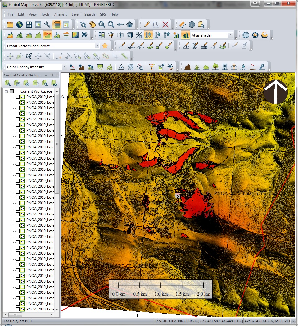
Esta mañana encontré este interesante reportaje sobre el LIDAR (Laser Imaging Detection and Ranging, detección y localización de imágenes por láser) la tecnología con la que trabajo desde hace años y que a algunos les parece recién inventada, jeje.
Allocation analysis: Attaching customers to facilities
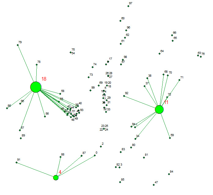
Allocates a set of demand points (Customers) to user specified number of supply points (Facilities) out of a Facilities point dataset based on the Euclidian distance between the Customers and Facilities.
