
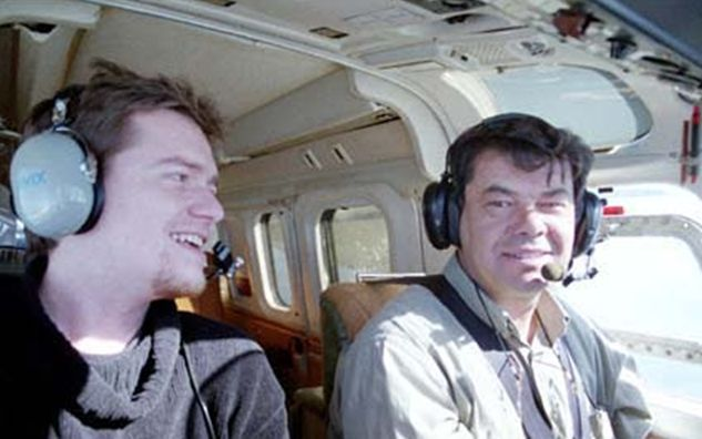
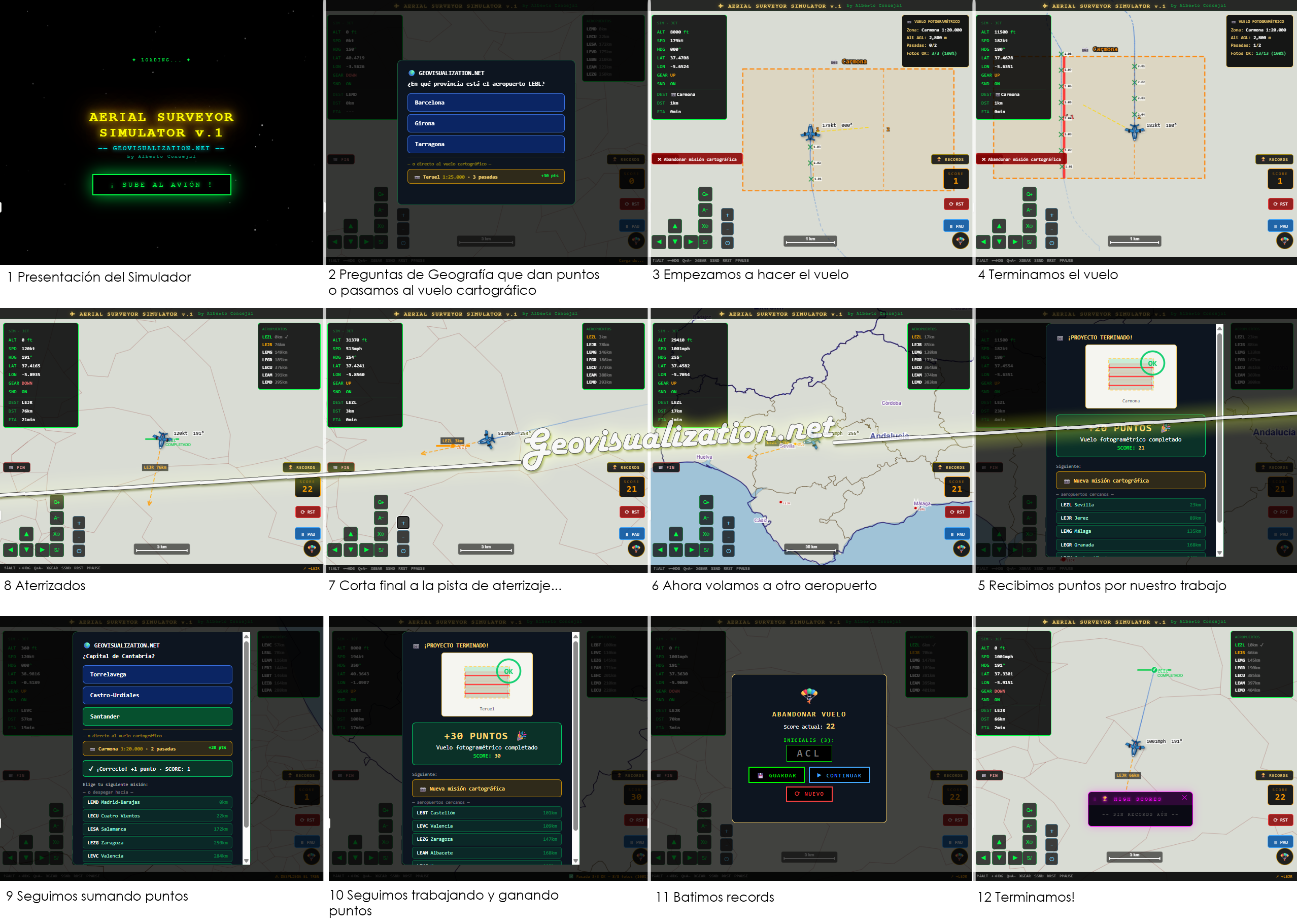
For three years, my office was thousands of feet in the air. As an aerial photographer, I spent my days capturing the world’s textures, layouts, and topographies from a cockpit—a masterclass in perspective that I am now transforming into a Aerial Surveyor Simulator.
https://aerial-surveyor-simulator-v2.netlify.app
This tool bridges the gap between real-world mapping and immersive simulation, serving as a vital resource for aeronautical and cartographic training, drone mission familiarization, and the visualization of complex technical projects in a 2D environment.
To ensure maximum accessibility and performance, I built the entire system using a lightweight, “zero-dependency” stack:
- Core: A single self-contained file using HTML5, Pure CSS3 (Grid/Flexbox) with native dark mode, and Vanilla JavaScript—no frameworks, no servers, no build processes.
Alberto C.
Geospatial Analyst
#AerialPhotography #Cartography #VanillaJS #WebDev #Simulation #Geospatial #TechInnovation
