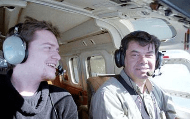
For three years, my office was thousands of feet in the air. As an aerial photographer, I spent my days capturing the world’s textures, layouts, and topographies from a cockpit—a masterclass in perspective that I am now transforming into a Aerial Surveyor Simulator.
Tag Archives: flight
Airmap: UAV aerial surveying technology
The most efficient way to monitor our environment is from above. Traditionally, aerial photography and mapping is a costly and time consuming business. However, by using our UAV technology, we are able to offer a cost and time effective solution for your aerial photography and mapping needs. Obtaining high resolution Orthorectified image mosaics and DigitalContinue reading “Airmap: UAV aerial surveying technology”
