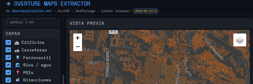
Just wanted to update on the usage of the tool I developed (OVERTURE MAPS EXTRACTOR) for extraction of Open data from Overture Maps for a quick hands on.
Summary:
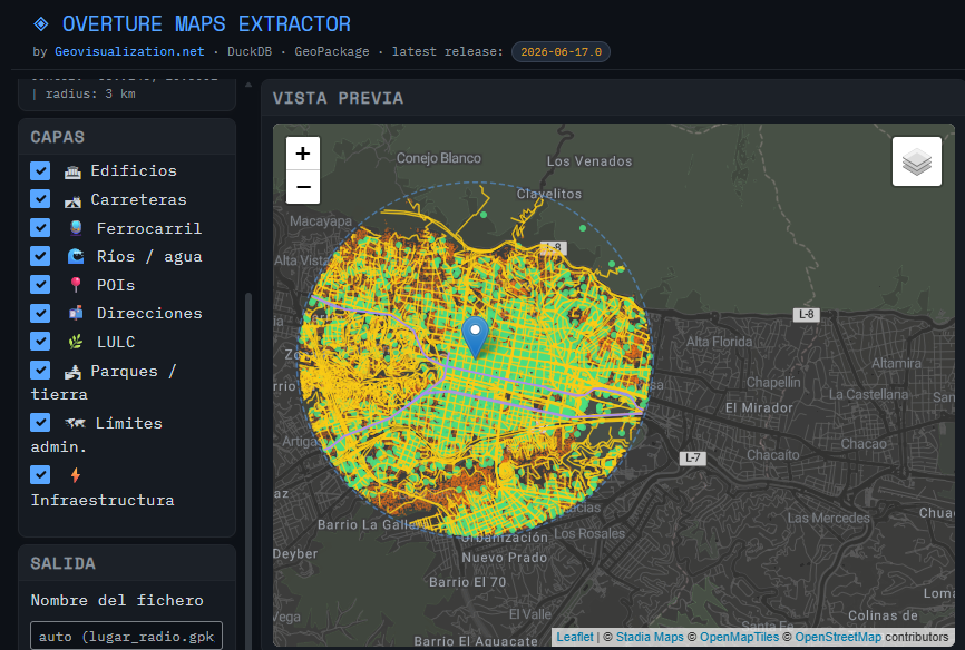
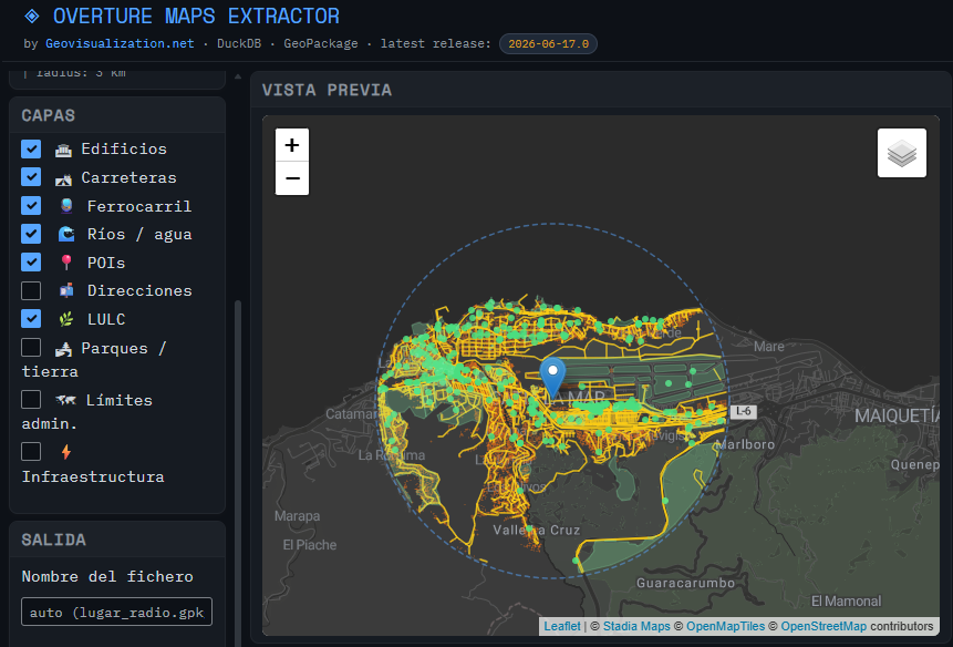
Latest release 2026/06/17
3 km buffer over Caracas downtown: 5 minutes
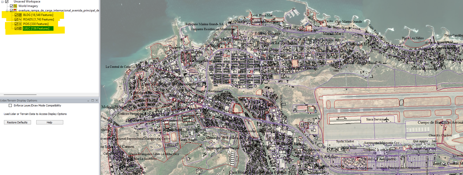
Buildings 52,006 items
Roads 5,482 items
POIS 4,711 items
LULC 398 items
LAND 441 items
Admin Bounds 77 items
Infrastructure 2,442 items
Exported to a 17 MB geopackage GPKG file
Please let me know if this interests anybody, free use of course,
Hugs to all my friends from Venezuela!
Alberto Concejal
Geospatial Analyst
Sources:
https://developmentseed.org/stac-map/?href=https://vantor-opendata.s3.amazonaws.com/events/Venezuela-Earthquake-Jun-2026/B1400011000BDF10.json
https://radiantearth.github.io/stac-browser/#/external/vantor-opendata.s3.amazonaws.com/events/Venezuela-Earthquake-Jun-2026/collection.json?.language=es
https://x.com/vantortech/status/2070496092131569833
