
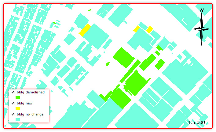
THE IDEA: DEMONSTRATING HOW DYNAMIC A CITY IS, THUS HOW IMPORTANT IS HAVING AN UPDATED DATASET
THE FACTS: THE CITY OF BOGOTÁ IN COLOMBIA 2012-2014
Overall growth rate: -0.12% ONLY HAVING INTO ACCOUNT THE DIFFERENCE OF BUILDINGS CAPTURED BETWEEN 2012 AND 2014 (We can do this because we have used the same data capture model in both years)
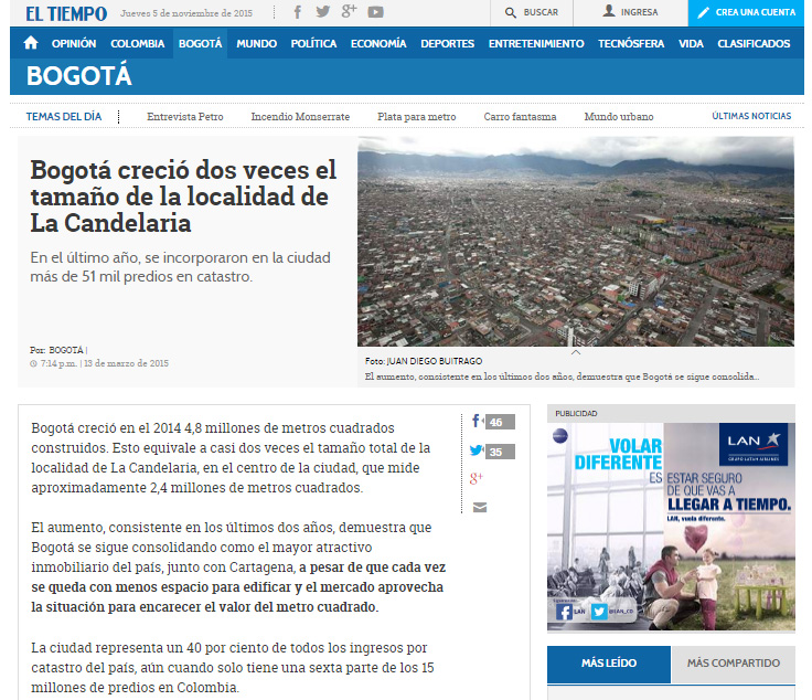
(De acuerdo al censo catastral, para 2015 la ciudad incorporó 51.531 predios nuevos urbanos. En total, hay 2’402.581 predios en la ciudad, de esos, 266,9 millones de metros cuadrados son de área totalmente edificada. Source: http://www.eltiempo.com/bogota/crecimiento-bogota-/15394797)
THE PROCEDURE: Centroids of buildings; Spatial join showing presence-absence, considering a 10m accuracy threshold, meaning if the centroid has not moved more than 10m, its the same building. If the centroid in 2012 is not in 2014, its considered as demolished. If a new centroid appears its considered new building.
DENSITY MAPS+3D buildings
Help to quickly focus on the highlights

