
En estas últimas dos semanas, ya pueden pintarlo como quieran en la Comunidad de Madrid pero la Tasa de Incidencia Acumulada 14d por encima de 750 (el índice que querían usar a cambio de las medidas impuestas por el Gobierno Central) afectaba hace dos semanas a 2,2 millones mientras que ahora lo hace a 2,9 millones. ¿Hay que actuar?. ¡La respuesta es YA!
Tag Archives: GIS
Supervised Classification using the Google Earth Engine, analysis by Mijanur Raman

What I like the most from Google Earth Engine is how powerful can be. You can take i.e all images from the whole Sentinel 2 series over certain spot and measure NDVI throughout time or you can take an analysis you first thought it was ideal over India and then you can use it anywhere else in the world.
Hipsters in USA. Sample over ALABAMA State

Isn’t it incredible? Mapping qualitative data, something as intangible as mapping a concept. For the first time, human behavior and personality in communities can be quantified using artificial intelligence.
Crean un mapa de los bosques de toda la Tierra con una resolución de 50 metros

Los bosques son los pulmones de la Tierra. Contrarrestan el calentamiento global al tiempo que brindan protección y recursos para los seres humanos, los animales y las plantas. Son un tesoro natural, pero se pierden a un ritmo alarmante, especialmente desde mediados del siglo XX. Para monitorear, evaluar y proteger este órgano verde con precisión,Continue reading “Crean un mapa de los bosques de toda la Tierra con una resolución de 50 metros”
Solar Radiation Analysis test over Madrid using Open Data

Incoming solar radiation (insolation) received from the sun is the primary energy source that drives many of the earth’s physical and biological processes. Understanding its importance to landscape scales is key to understanding a broad range of natural processes and human activities. Taking advantage of official Open Data sources (Cadastre footprints and CNIG mainly) IContinue reading “Solar Radiation Analysis test over Madrid using Open Data”
Seminario motivacional en el Máster Tecnologías de la Información Geográfica de la UAH
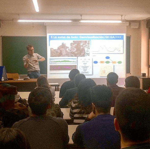
Esta vez me tocó impartir el seminario motivacional “Geógrafos en tiempos de GIS” en el entorno del Máster de Tecnologías de la Información Geográfica. Yo encantado pues este mismo máster lo cursó yo hace ya doce años (wow, time flies, el tiempo pasa rápidamente cómo dicen!) y la verdad es que me encantó hacerlo.
Seminarios motivacionales para (quizá) futuros Geógrafos

La idea era mostrar el día a día del trabajo de un Geógrafo cualquiera (yo) y el recorrido que me ha llevado hasta aquí. El porqué de la elección de la carrera, los diferentes trabajos, las influencias de otros trabajos a priori sin conexión, el día a día actual, etc.
La simbolización, las leyendas de los mapas y la prensa española

Un periodista, un diseñador, un influencer… muy guay pero para hacer los mapas, preguntad a un Geógrafo. Cada vez es más fácil usar servicios web con cartografía precargada tipo CARTO o MAPBOX pero esto no es suficiente si lo que queremos es comunicar un fenómeno o un dato de manera correcta.
Running in Madrid. A GIS approach!

these density maps performed in Global Mapper overlay the geometry lines saved out my running application (Garmin Connect). and once they are exported to points, i can generate a density map, chosing an easy to understand legend and i overlay to Google Earth so its also easy to be sent if needed be (why for? i don’t know!).
LIDAR Madrid LAZ 20cm

Ya van varias veces en el último mes que alguien no especialista en temas geográficos-cartográficos me habla de ‘ese sistema’ de láser para saber ‘la altura del terreno’ y es que la verdad es que LIDAR parece magia. Es bastante increible que pase un avión con una tecnología invisible a ojos humanos y que seContinue reading “LIDAR Madrid LAZ 20cm”
