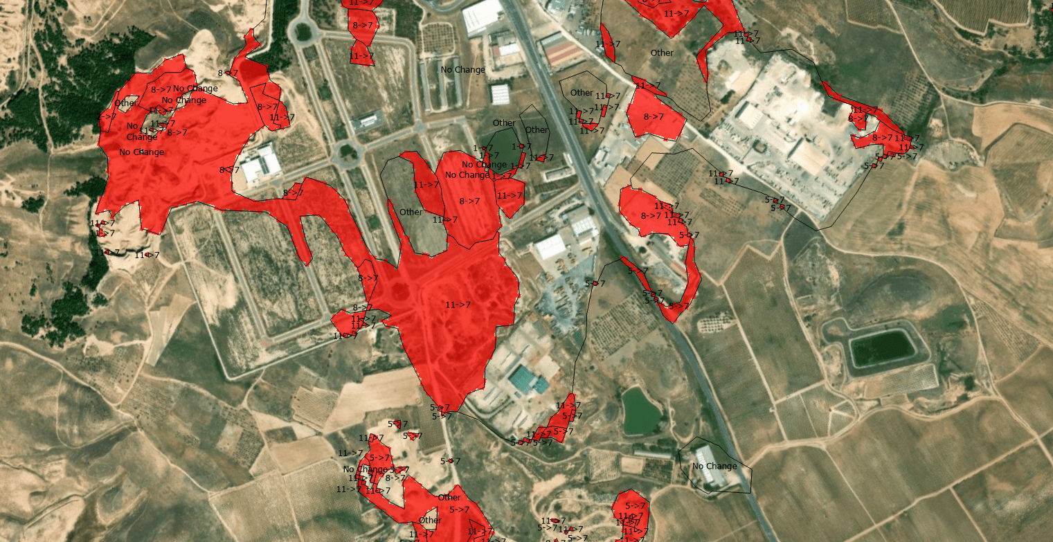
The quantification of land-use dynamics necessitates a spatiotemporal framework that ensures categorical stability over long-term observation windows. The ESRI 10-Meter Global Land Cover time series, accessible through the ArcGIS Living Atlas, provides a harmonized baseline for this purpose, derived from the dense temporal stack of the ESA Sentinel-2 mission.
Tag Archives: 2025
¡Al final se nos quema la península este 2025!

Este agosto, España y Portugal han vivido una temporada de incendios excepcionalmente dura. En España, las llamas han calcinado ~382.000 hectáreas (más de seis veces la media reciente) y han dejado víctimas mortales; en Portugal, las superficies quemadas superan las 200.000 hectáreas, muy por encima del promedio 2006–2024 para estas fechas. El humo cruzó fronteras y degradó la calidad del aire a cientos de kilómetros.
Visualizing Los Angeles wildfires 2025 in Copernicus interface using Pierre Markuse’s script +GOES 10min imagery

Pierre Markuse’s wildfire visualization script is a notable tool in this regard, as it effectively enhances the identification of burned areas and active fire zones using Sentinel-2 imagery. Below, we delve into how this script works and its practical applications for wildfire analysis.
