
What is this ‘cool data‘ all about?. When i got my degree in Geography (about 15 years ago) it didn’t make sense at all being interested in something like graphic design, photography, video and all this stuff… but not only interested in my leisure time but also for taking advantage of it, getting a life out of it. When, after three years of working in a plane while taking aerial pictures i got fed up with anything related to Geography (and working 24/7) and started working as a website designer it started making a bit of sense… Only five years later, having worked as multimedia photographer, graphic designer and technical salesman everything got aligned and made all the sense in the world… i wanted to come back to Geography but taking advantage of all this years of doing something else…
It was time to resign and comeback to the university to get a MSc (In Remote Sensing and GIS)… leave everything behind and planning my working life again. After finishing my master’s degree (well, actually they were two!) i received a call from South Africa. Are you Alberto?. Hell yes, I am!. We have just received your CV and we are interested in offering you a job dealing with something (i didnt know about) called ‘Geovisualization’. Again, what is this all about?. Well, its dulcifying, easying up all complex information and offering it in a new way, a much easier way to understand it… This is what i call COOL DATA.
Let’s imagine there’s something our customer doesn’t really understand and its kind of difficult to describe using words… There’s always a way for making it easier. Using Graphic design tools or Video software to recreate a workflow or explain something complex… even adding some music, why not???.
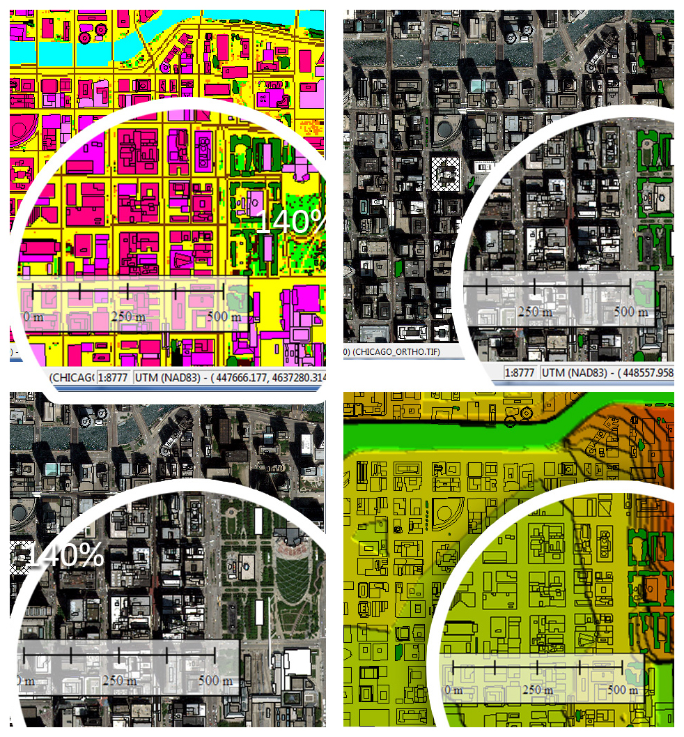
Using Photoshop Macros and a few composition rules we can convert a tricky template in something we, our team and our customer will understand completely. What about Global Mapper scripts for quick conversions between formats?.
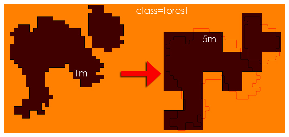
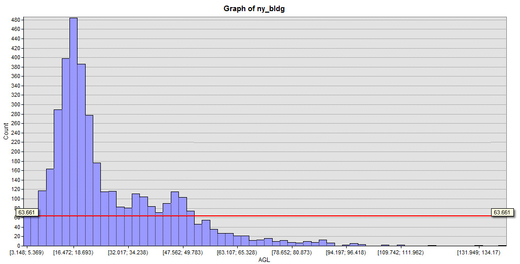
What about including some statistics?
and Spatial analysis?.

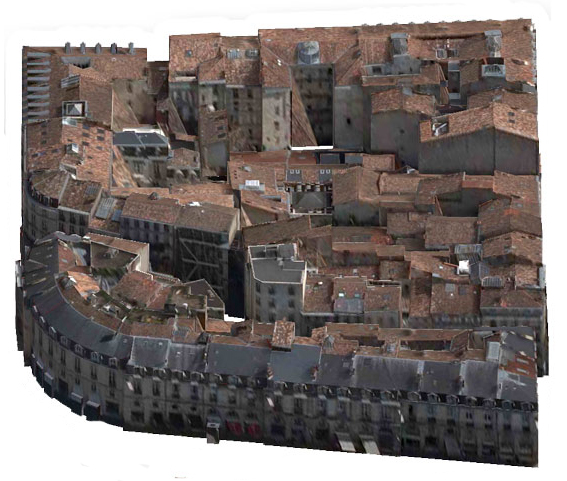
And 3D?
Maybe some video?
Is this clear enough?. No?.
Let me explain it to you in English, French or Spanish.
Now, seriously, count on me in case of need of converting complex datasets into COOL DATA.
Please don’t hesitate to contact me.
Alberto C.
MSc GIS and Remote Sensing
