
In August 2014, I laced up my running shoes for the first time, with no grand expectations — just a simple desire to move, to feel better, to take control. I was far from athletic: weighing nearly 80 kilograms (almost 20 kg more than today), with no endurance, no rhythm, and definitely no running background (exception made of some runs in my mid 20’s :-)). But I made myself a promise: I would be stubborn, consistent, and patient. No matter the weather — rain, wind, snow, scorching heat, storms — I would run, three times a week, every week.
Category Archives: GIS / SIG
GEOGRAFÍA EN EL COLEGIO!
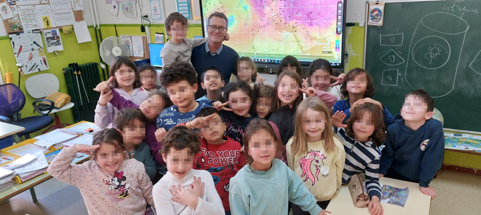
Ayer tuve el honor de compartir una hora y media con la clase de 2ºA de primaria del Colegio Ermita del Santo en Madrid, hablando sobre Geografía desde muchos puntos de vista. Desde las proyecciones cartográficas hasta Google Earth, pasando por un proyecto cartográfico real y reciente, y terminando con la relación entre la Geografía y la Meteorología. Pero lo más especial no fueron los mapas ni las explicaciones… ¡fueron las preguntas!
Visualizing Los Angeles wildfires 2025 in Copernicus interface using Pierre Markuse’s script +GOES 10min imagery

Pierre Markuse’s wildfire visualization script is a notable tool in this regard, as it effectively enhances the identification of burned areas and active fire zones using Sentinel-2 imagery. Below, we delve into how this script works and its practical applications for wildfire analysis.
LOS ANGELES WILDFIRES 2025: Sentinel 2 +Overpass Turbo (OSM)

En Los Ángeles, la combinación de condiciones meteorológicas, como los vientos secos de Santa Ana y las altas temperaturas, crea un entorno propenso a incendios forestales. Estos fuegos, a menudo cercanos a áreas urbanas, representan un gran desafío para la gestión de emergencias. Aquí es donde Sentinel-2 se convierte en una herramienta crucial. Utilizando la combinación de bandas 12, 8, 4, Sentinel-2 permite detectar rápidamente focos de calor y evaluar la extensión de las áreas quemadas, lo que es vital para coordinar respuestas eficaces. Esta capacidad de monitoreo casi en tiempo real es fundamental para mitigar el impacto de los incendios y proteger tanto a las comunidades como a los ecosistemas.
Palestine 2023-2024

The 7th of October will forever be remembered in our collective memory as a day of tragedy and senseless violence, an operation that would shatter the dream of Israel’s inviolability. The attacks by Hamas were unequivocally condemnable. The targeting of civilians (+1200 dead and +250 kidnappings) is never acceptable, and those responsible for such acts must be held accountable. However, the response that followed has escalated into something far worse, a state-driven campaign of violence by Israel that has, in just one year, claimed over 42,000 lives, a staggering number of whom are women and children. This is not defense; this is mass murder. GENOCIDE.
Wildfires in Russia through SENTINEL 2

In recent days, the Sakha region in Russia has experienced significant wildfire activity, More than 100 wildfires spanning more than 300,000 hectares are currently active. driven by a combination of extreme weather conditions and environmental factors. The fires, which have spread across vast areas of forest and tundra, have been exacerbated by unusually high temperatures and prolonged periods of drought. These conditions have led to exceptionally dry vegetation, creating an ideal fuel for the fires.
Water Quality Viewer (UWQV) for Sentinel -2
The Ulyssys Water Quality Viewer harnesses the power of Sentinel-2 satellite data to provide comprehensive and accurate water quality assessments. Its intuitive legend and visualization capabilities significantly enhance the user’s ability to interpret and act on environmental data, contributing to better water management and conservation efforts worldwide, particularly in ecologically and economically significant areas like La Mata and Torrevieja salt lagoons.
CADALSO DE LOS VIDRIOS: MELANCOLÍA DE TIEMPOS MEJORES

Enclavado en un entorno rural de gran belleza natural (Latitud: 40° 18′ 3” Norte Longitud: 4° 26′ 37” Oeste) Cadalso de los Vidrios se enfrenta a una realidad económica marcada por la fragilidad y la dependencia. Con un tejido industrial prácticamente inexistente, el pueblo se sustenta principalmente en dos pilares: el ínfimo sector agrario y el sector de la construcción y los servicios. Esta dependencia económica limita las oportunidades de desarrollo y aumenta la vulnerabilidad frente a situaciones adversas, entre ellas, la explotación descontrolada de los recursos mineros y forestales.
Sequía en Cataluña – Timelapse 2017-2024

Las restricciones más duras de emergencia por sequía se extenderán a más de seis millones de personas de los 202 municipios de Barcelona y algunas poblaciones de Girona. Así lo ha anunciado este jueves la Generalitat, que suma estas localidades a las 37 (125.000 habitantes) de las comarcas de Alt Empordà, Baix Camp y Baix Llobregat, que ya estaban en la fase más severa desde agosto. Esto significa que casi el 80% de la población catalana vive en una zona en emergencia por la crisis hídrica.
The Remarkable Visibility of Almeria’s Greenhouses from Space

In the sphere of Earth observation and remote sensing, the Almeria greenhouses stand out as an astonishing spectacle visible even from the edge of space, defined by the Kármán line at approximately 100 kilometers in altitude. This unique visibility is not only a testament to the vast scale of human agricultural activity but also a captivating example of the power of satellite-based remote sensing technologies.
