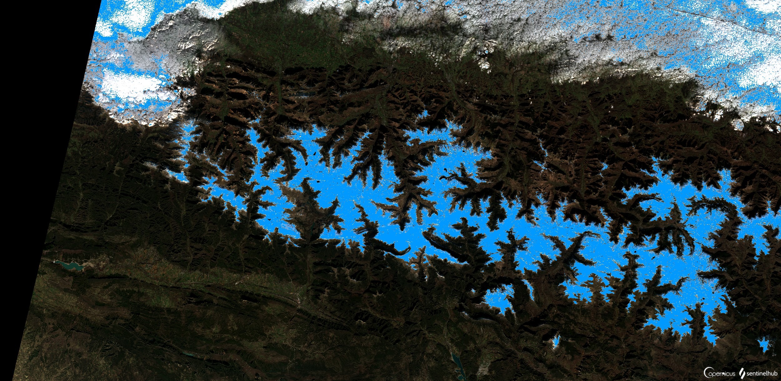
Playing with Sentinel 2 images I realized that the amount of snow this year has been very low compared to last winter. Here are a couple of images from January 2022 and 2023 of the Canfranc – Paticosa – Jaca area.

Let me introduce you guys what Sentinel HUB is: an Earth Observation (EO) platform that provides access to a vast amount of Sentinel data and other EO data. With Sentinel Hub, users can visualize, analyze, and download satellite data for various applications, including agriculture, forestry, land use, and environmental monitoring. The platform provides a user-friendly interface, allowing users to easily access and manipulate data to create custom visualizations and analytics. Additionally, Sentinel Hub offers a variety of services, including cloud detection, atmospheric correction, and image classification. These services are essential for improving the accuracy and usefulness of the data. Overall, Sentinel Hub is a powerful tool for Geovisualization and remote sensing applications, providing users with easy access to high-quality satellite data for a wide range of applications.
One of the most interesting things about this EO browser is that in addition to a standard 2D visualisation, we can visualise in 3D. Here is an video example.
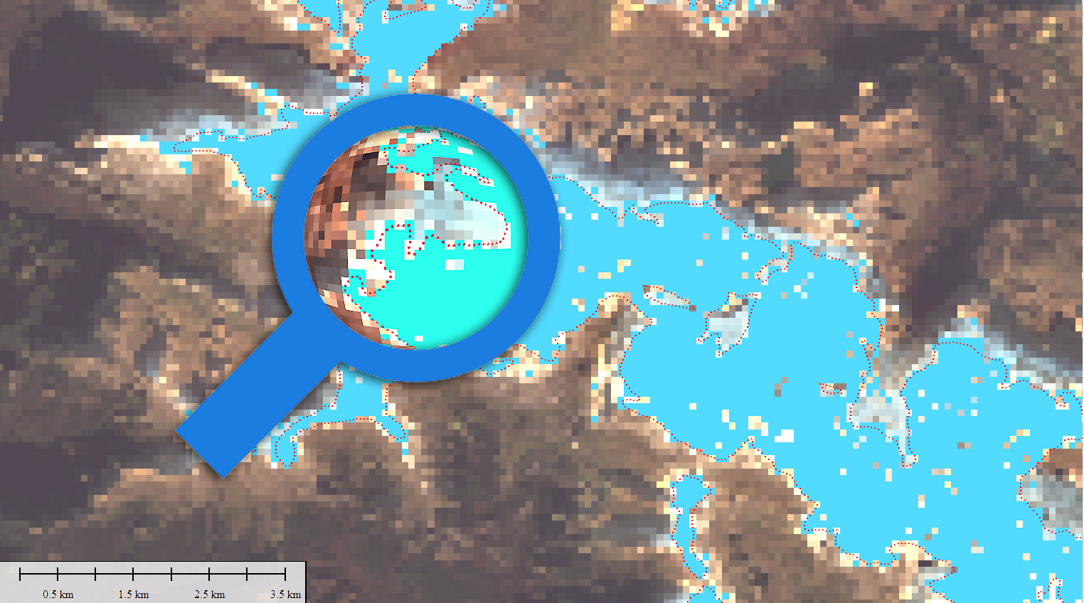
Another interesting thing is to be able to quantify the snowfall. There is a snow classifier based on NDSI (Normalized Difference Snow Index). The (NDSI) snow cover is an index that is related to the presence of snow in a pixel and is a more accurate description of snow detection as compared to Fractional Snow Cover (FSC).
As you can see, we have this new layer we can extract right away using a third party, Global Mapper, the Photoshop of GIS, if I can say. Meaning you can do it all using this software 🙂


And finally from another website that I love and have subscribed to for years: VENTUSKY (I rarely pay for such applications but Ventusky is worth it a thousand times over). We can see the snow coverage through the season in this short sequence. Spectacular!.
Anyway, there are millions of things possible with the Copernicus EOB!
Don’t forget to share if you like it! Let’s enjoy it,
Alberto C.
Senior GIS Analyst
Sources:
https://chat.openai.com/
https://www.sentinel-hub.com/explore/eobrowser/
https://www.ventusky.com/
https://www.bluemarblegeo.com/global-mapper/
https://www.adobe.com/es/products/photoshop.html
