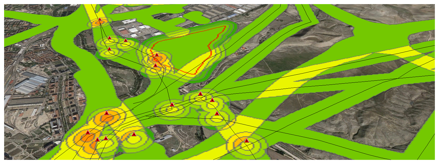
Now that we have completed a first example, let’s continue with a real-world one. Its important working on a Data Model to define what we understand as a Risk and how important this is. Meaning. High voltage power lines are an actual risk but the closer we are, i guess the bigger the risk is, meaning i.e 3 if we are within 50m and 1 if we are 150m away… It’s only a guess.
Tag Archives: geographic
La geográfica cabecera de ‘Up in the air’ con George Clooney
Para alguien que maneja mapas a diario es una sorpresa interesante cruzarse con esta cabecera de la película de Jason Reirman protagonizada por George Clooney ‘Up in the air’. Nubes, campos de cultivo, ciudades en 2D, 3D. Qué bien he elegido mi profesión:-) Para alguien que viaja mucho, salvando las distancias, este vídeo, también delContinue reading “La geográfica cabecera de ‘Up in the air’ con George Clooney”
