Todos los edificios actuales de Madrid presentes en la base de datos de Catastro a día de hoy tienen su año de creación. Esto es un mapa que muestra -por décadas- dónde se concentraba la mayor parte de ese desarrollo urbanístico. Por ejemplo en los años 20 fue en el Barrio de Salamanca, en losContinue reading “Desarrollo urbanístico en Madrid capital desde mediados del S.XIX hasta hoy”
Category Archives: geomarketing
CORONOVIRUS ANÁLISIS MADRID (updated 20201029)

Según el enfoque, los resultados parecen ambiguos. En todo caso, cuando no está claro el tema, lo mejor es la precaución y en la Comunidad de Madrid podríamos tener en el mejor de los casos a una suicida como presidenta, Isabel “DEATH” Ayuso y sus decisiones no parecen contradecir esto. Lo peor es que detrás de sus decisiones están muchos millones de personas, no solo en Madrid.
Census differential Privacy Exploration: the change in population for every Congressional district after applying Differential Privacy
How differences in population count could have implications for service provision, allocation of funds, & political representation. Source: https://www.caliper.com/census-differential-privacy-maps/ The U.S. Census Bureau has changed the way it ensures privacy for the 2020 Census. The new method is called Differential Privacy (DP). To help people assess some of the implications and unintended consequences of Differential Privacy, Caliper® is providing severalContinue reading “Census differential Privacy Exploration: the change in population for every Congressional district after applying Differential Privacy”
Retirada de vehículos por la grúa municipal en Madrid: Una aproximación visual usando Datos Abiertos.

Solo estoy tomando en cuenta 185 puntos debido a las limitaciones de mi servidor de geocode https://www.mapdevelopers.com/batch_geocode_tool.php pero muestra que los datos tienen sentido, siendo el barrio de Sol el que concentra una densidad mayor de actuaciones de la grua municipal. Para el fondo, he usado una conexón WMS a OSM y geometrías de Barrios tomadasContinue reading “Retirada de vehículos por la grúa municipal en Madrid: Una aproximación visual usando Datos Abiertos.”
Análisis espacial de precios en el mercado inmobiliario (Ejemplo sobre Vicálvaro, Madrid)

Análisis espacial de precios en el mercado inmobiliario
Euclidean allocation analysis II

Imagine you need to promote recycling. Imagine you have 1000 inhabitants from a small village and you need to provide proper colored plastic bags for each and every one of the categories you need to disaggregate: organic, plastic and paper. You need to service them all properly but you can only choose 5 shops (out of theContinue reading “Euclidean allocation analysis II”
Allocation analysis: Attaching customers to facilities
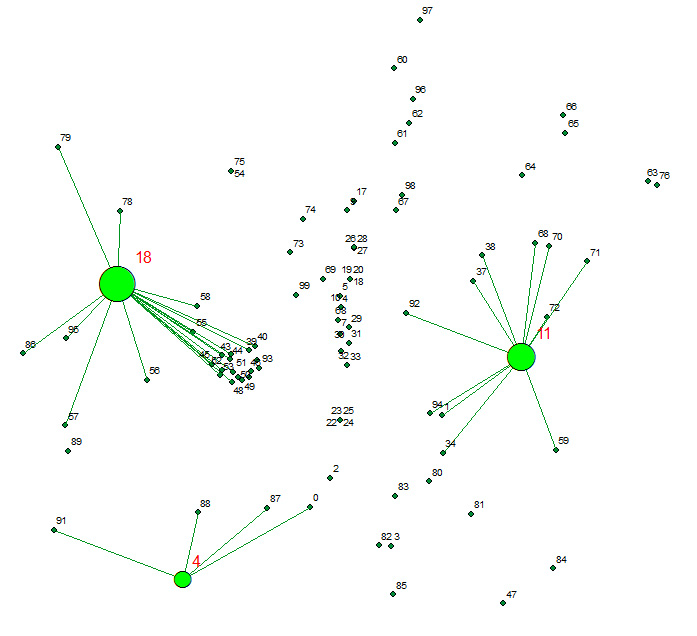
Allocates a set of demand points (Customers) to user specified number of supply points (Facilities) out of a Facilities point dataset based on the Euclidian distance between the Customers and Facilities.
