
Have you seen how this helps you to understand the way wind flows? (switching form different variables visualization styles) I wish I would have had something like this for learning when aI was a student. I always say the same, I finished my degree in Geography in UVA (Valladolid University) not using any kind of computer, im talking about 1998.
I joined my first internet course in 1997 and at that moment in time i was so confused, i didn’t know the difference between “email” and “internet”, well i know it seems something very naive now but those things were starting on these days… GIS was available as a DOS application those days and even if i had worked for three years in a Cartography company (Grafos) digitizing in Microstation, everything was very manual like and visualization interfaces were very rare and kind of raw.
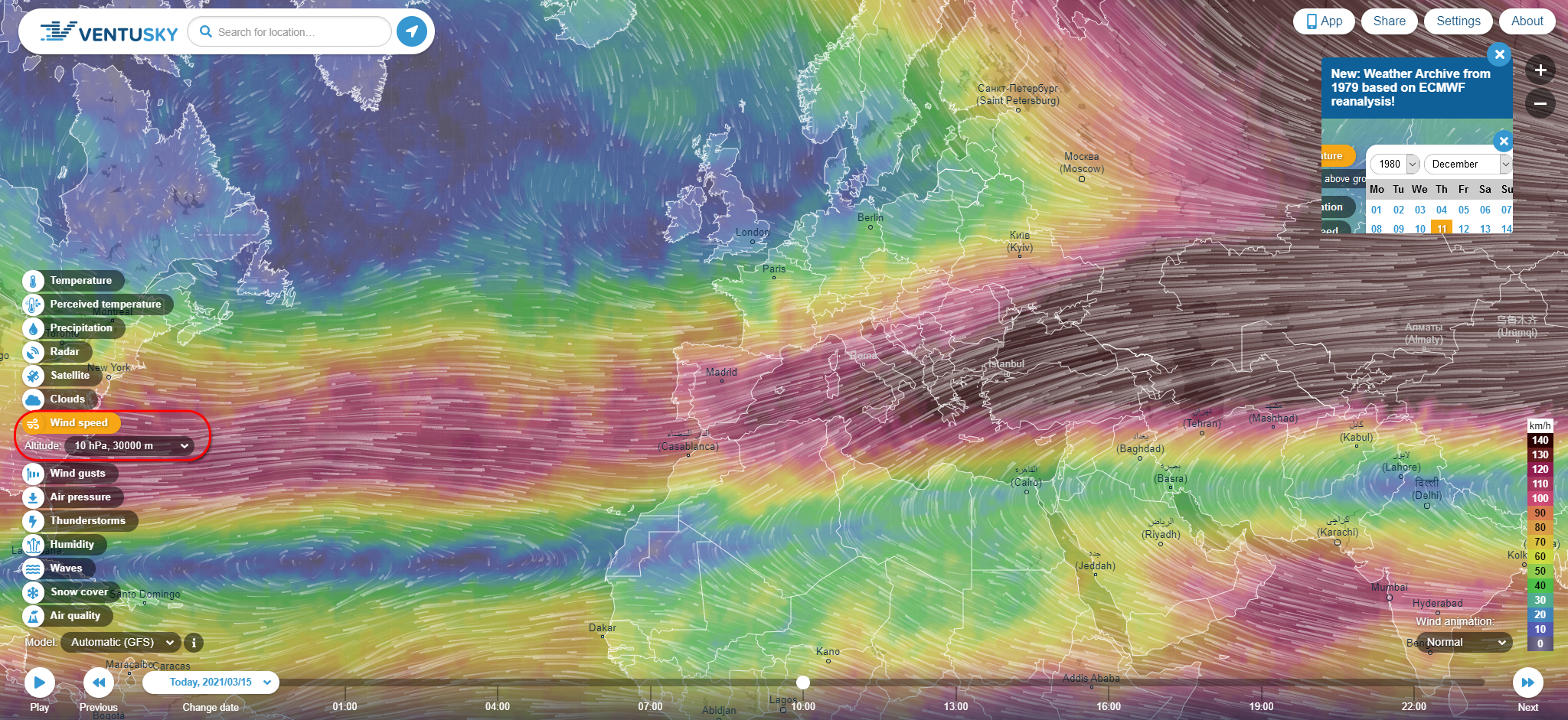
Anyway, once i got my degree I joined an aerial surveying company for three years 1999-2001 (TASA) and I had to learn a lot on analogic photography, on GIS flight planning (using actual maps, rulers and pencil and rubber notes), english (i managed to help in buying a 1973 Aero Commander 690 turbo propeller plane at the US!) and Meteo, and that’s were I wanted to highlight how difficult was understanding certain phenomena like ENSO or JET STREAMS or even a simple LOW without these newst tools… We used to get to the airport in the morning and request the latest METAR-TAFO reports for making sure we could fly over certain area. We could not get this info from home so we do not waste our time up and down…
METAR: LEMD 150930Z 35004KT 300V030 CAVOK 08/02 Q1027 NOSIG
TAF: LEMD 150500Z 1506/1612 03007KT CAVOK TX18/1516Z TN01/1506Z
https://es.allmetsat.com/metar-taf/espana-portugal.php?icao=LEMD
I loved it, by the way, and it makes me think about how time flies, how quickly things change and how we need to adapt with the same speed. And one more, I wonder why people is not wiser (that Im aware of) having all this stuff available…
Alberto C.
GIS Analyst (today, in the past, a cartographer:-))
