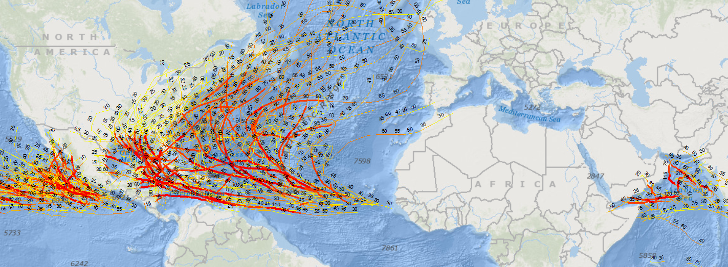
This shape file consists of consolidated history of tropical storm paths over the past 50 years in the West Pacific, South Pacific, South Indian and North Indian basin. Attributes provides details such as storm Name, Date, Time, wind speed and GPS points for each advisory point. Wind speeds are in knots for more details on speeds conversion and storm categories please visit the original source of data: UNISYS (http://weather.unisys.com/hurricane/index.php), NOAA (http://rammb.cira.colostate.edu/products/tc_realtime/index.asp)
Software used for visualization: ArcGIS 10.6.1 I have also symbolized and created a sample AVI video around the Philippines and The Mariana Trench.
Methodology – Registry
OCHA’s Regional Office for Asia and the Pacific http://www.unocha.org/roap/
Source: https://data.humdata.org/dataset/asia-pacific-storm-tracks-1956-to-2018
Last updated at https://data.humdata.org/organization/ocha-roap : 2019-11-20
License – Public Domain / No Restrictions
